


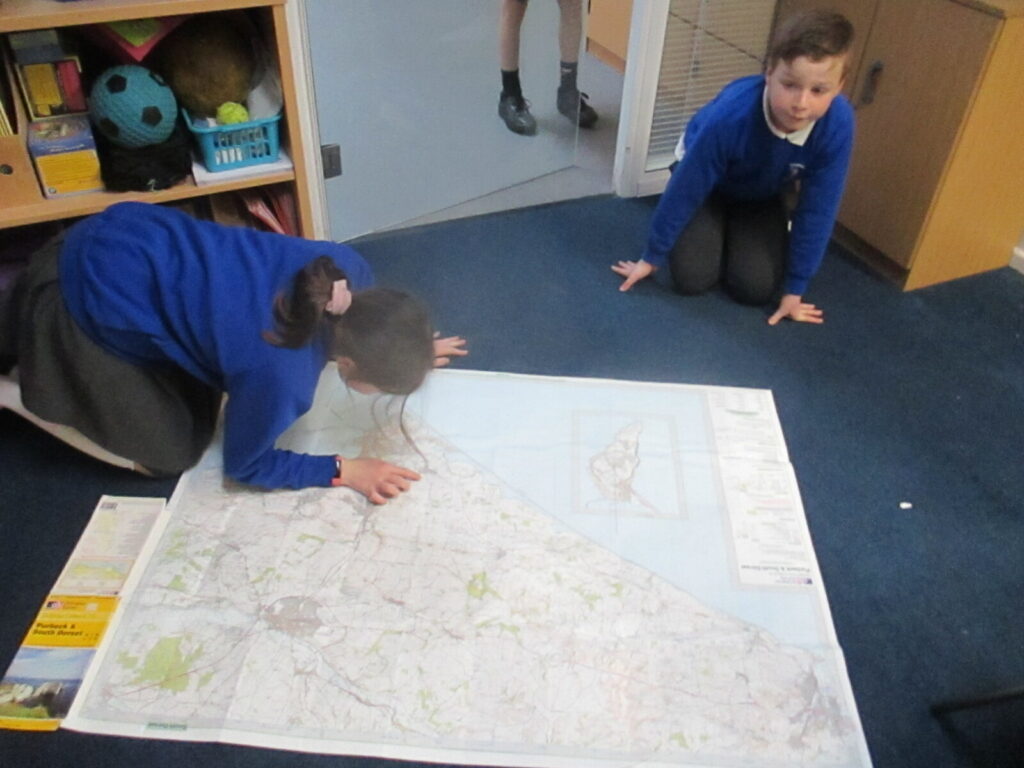
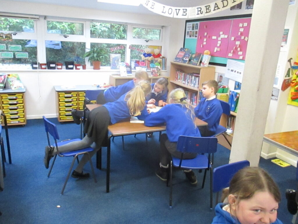
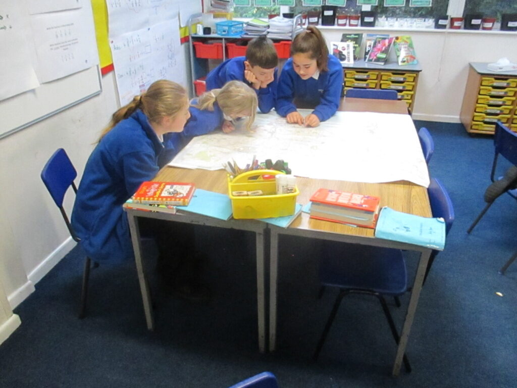
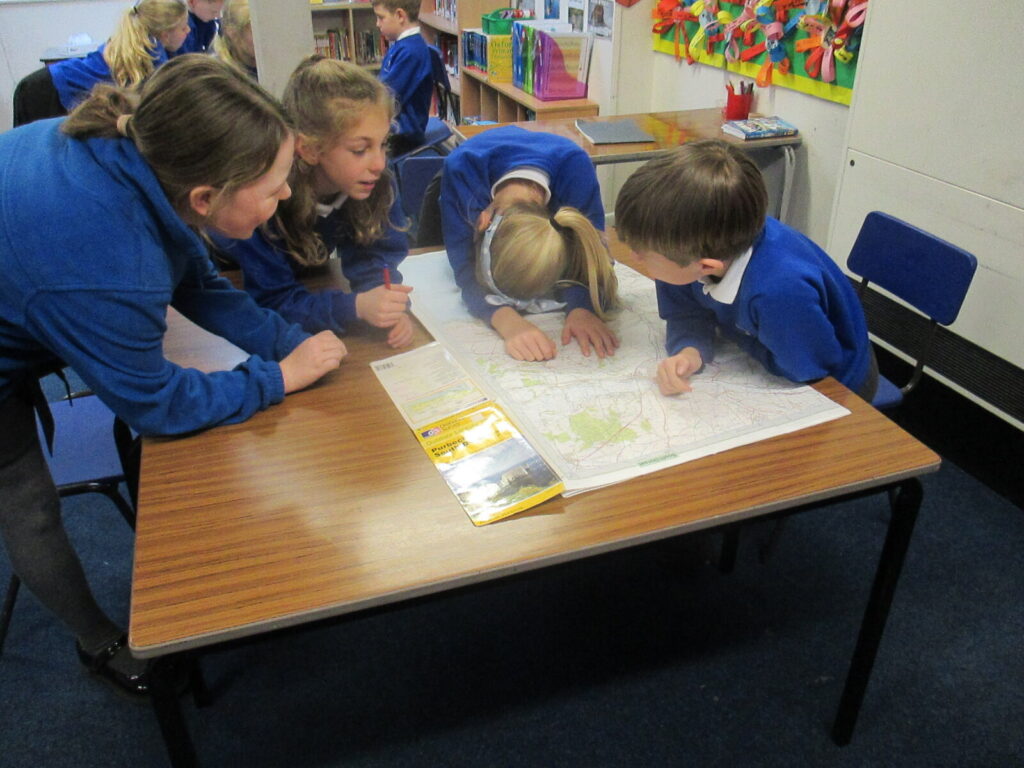
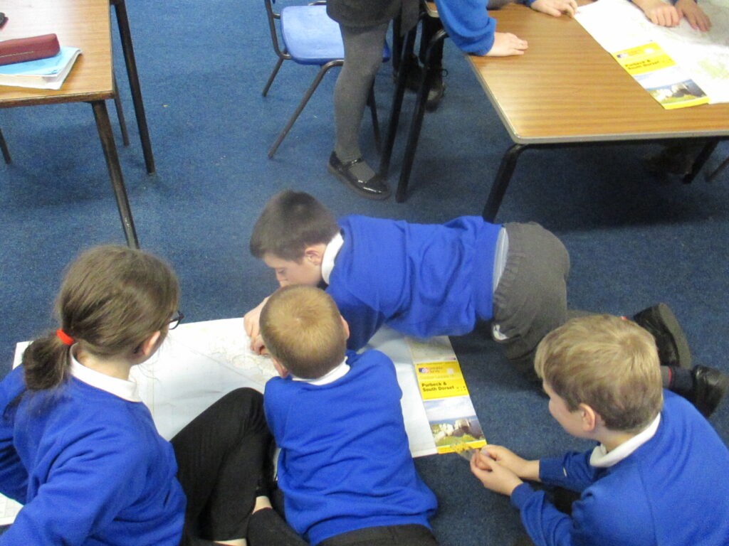
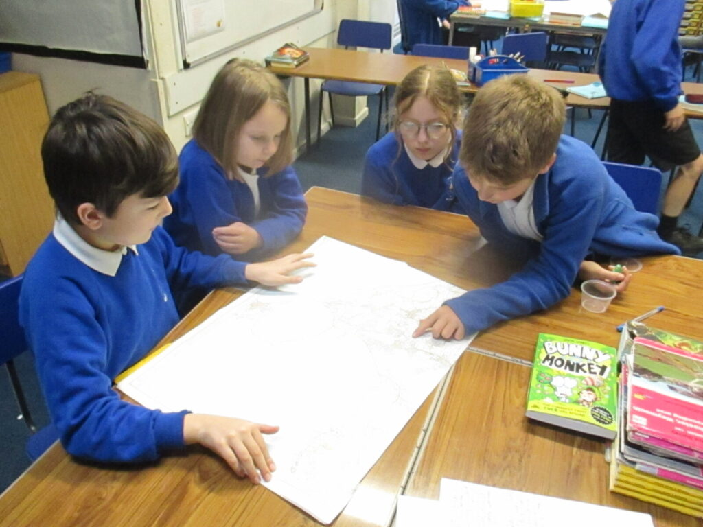
Part of our Sow Grow and Farm project this week has involved us looking at OS maps and using our knowledge of gird references to locate specific places. It was great fun spreading them out on the floors and tables and finding our own school and where we live!
We have learnt that grid references on an OS map can be broken down from 4-figure easting and northing lines to 6-figure references so places can be located to more specific 100m square areas. This was a bit confusing at first, as the 6-figure grids aren’t marked on an OS map, so we had to use our resourceful skills and imagine the lines between the easting and northing lines!
To find a 6-figure grid reference you need to:
- identify the right easting line across the map
- count the number of imaginary lines into the square from the left
- locate the right northing line up the map
- count the number of imaginary lines up into the square
It took a bit of practice but with our resilience, we got there in the end, using an OS map of Swanage to help us practice and locate places, well done Year 5!
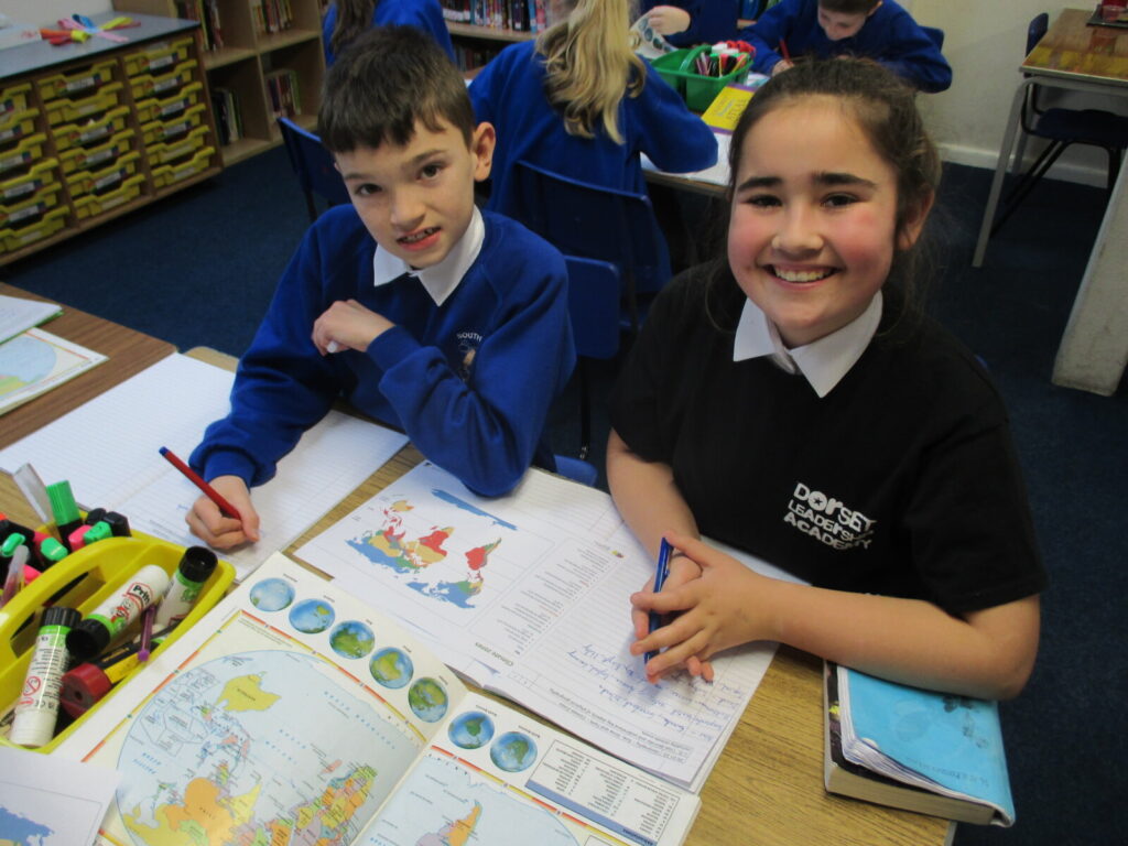
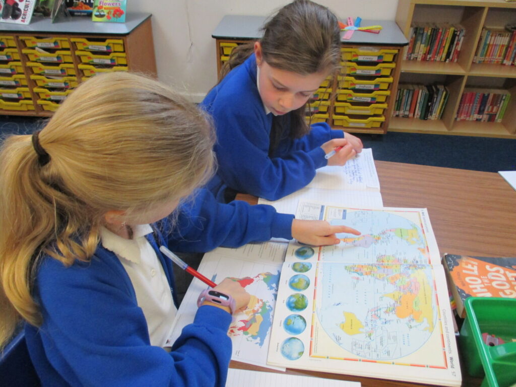
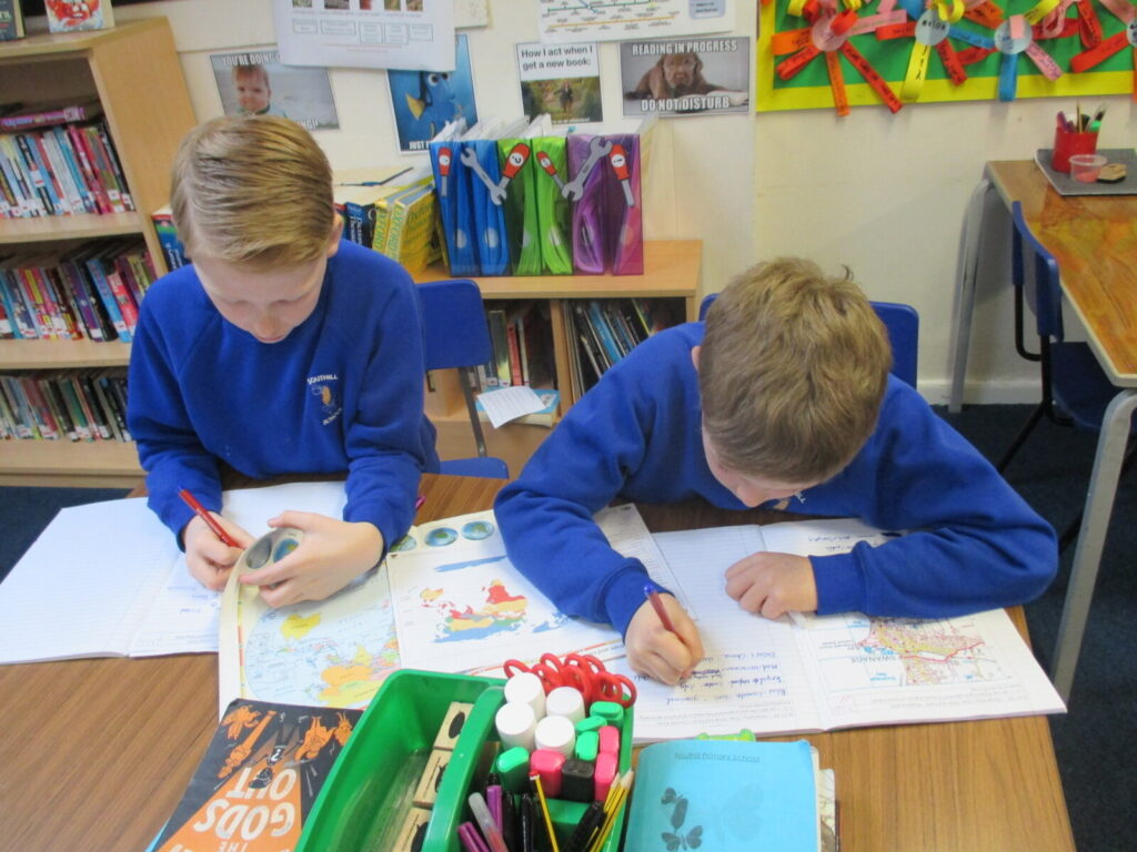
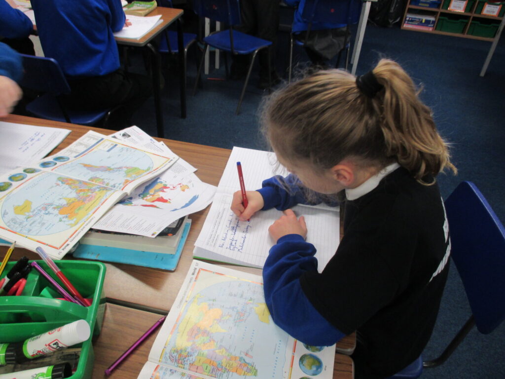
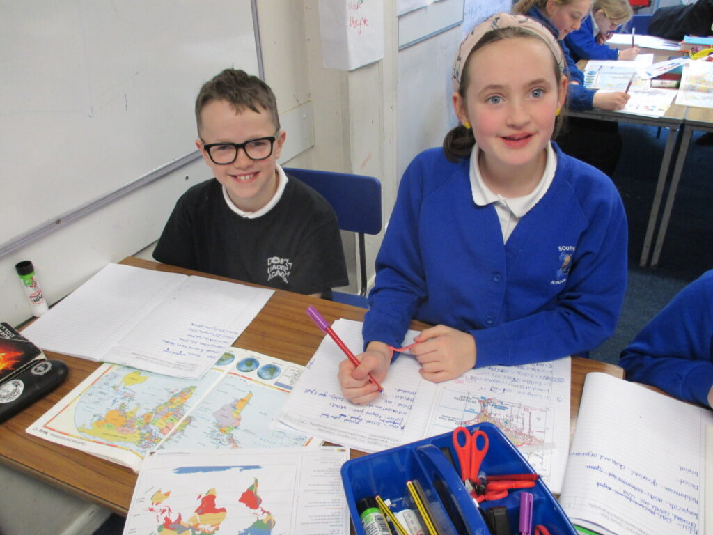
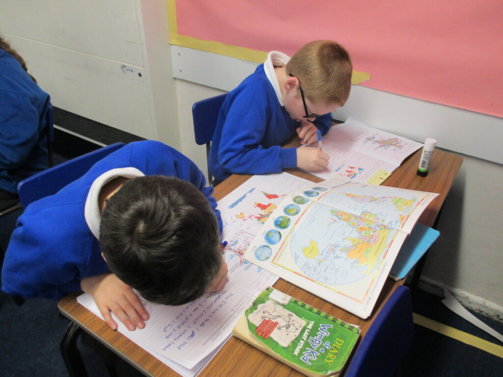
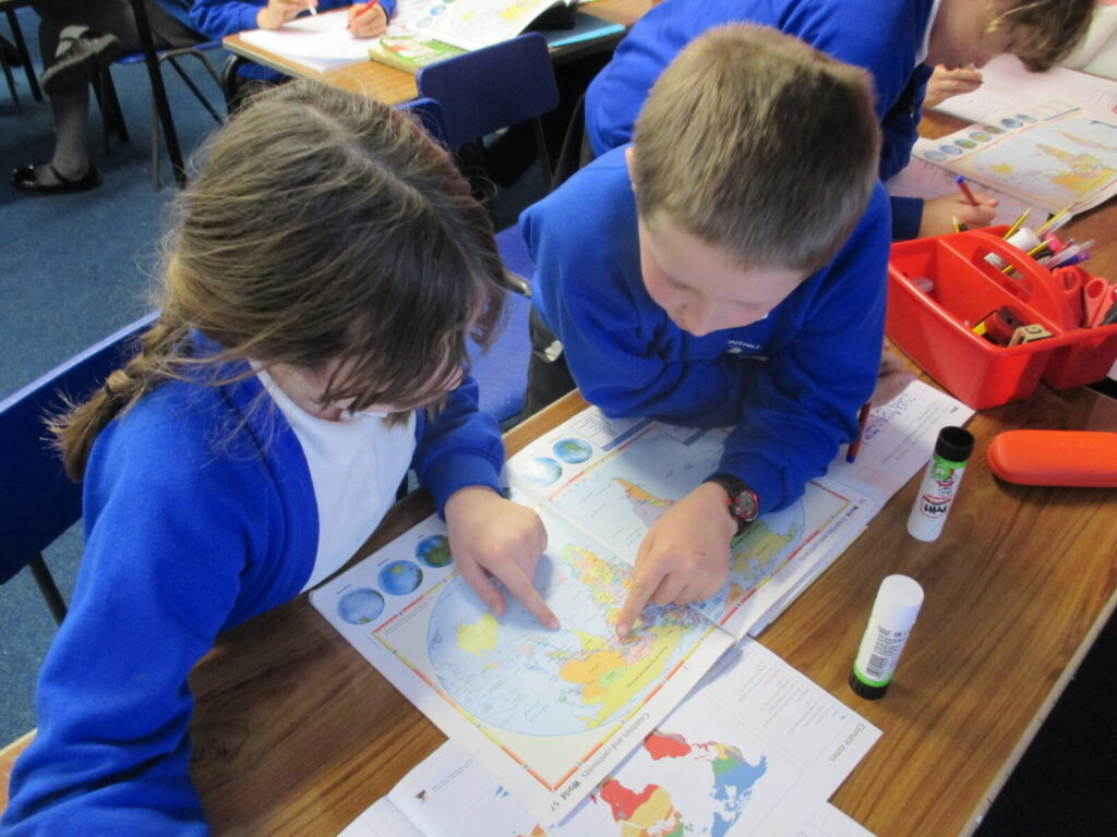
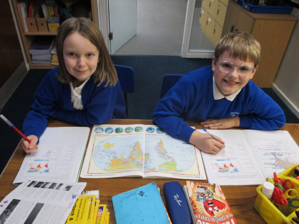
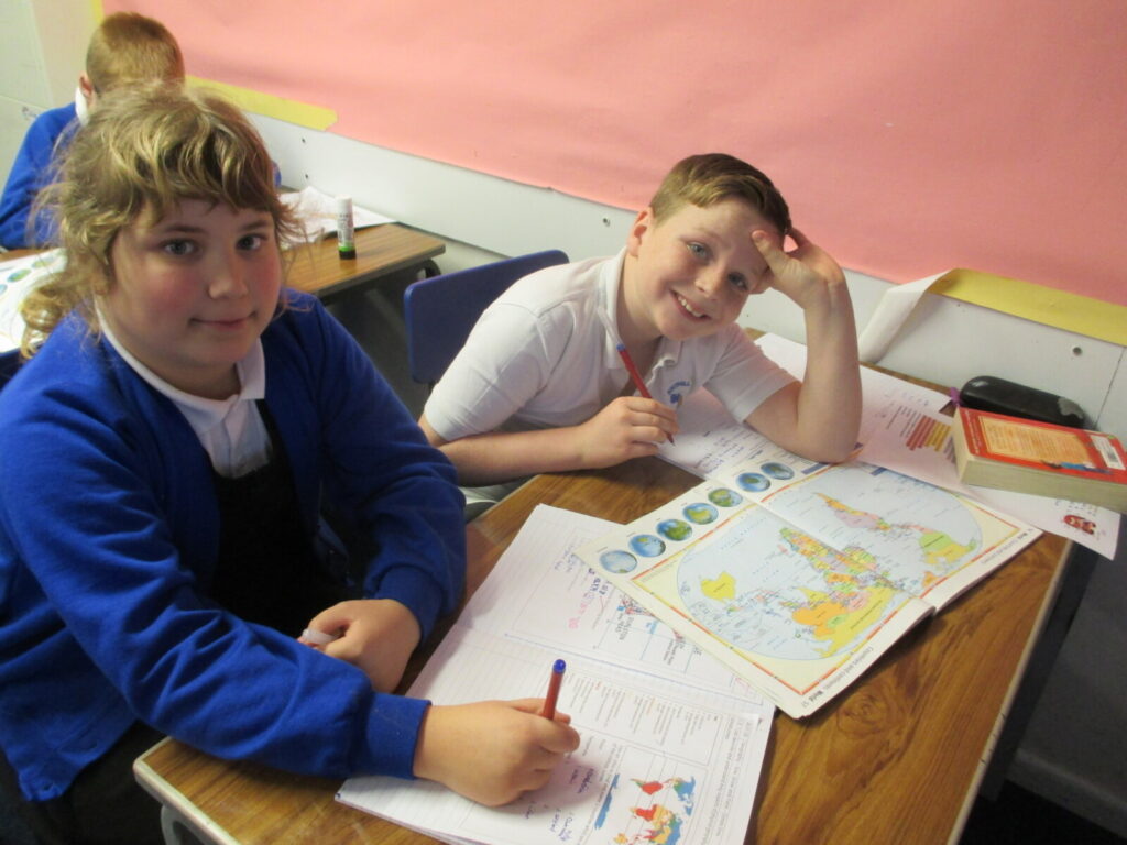
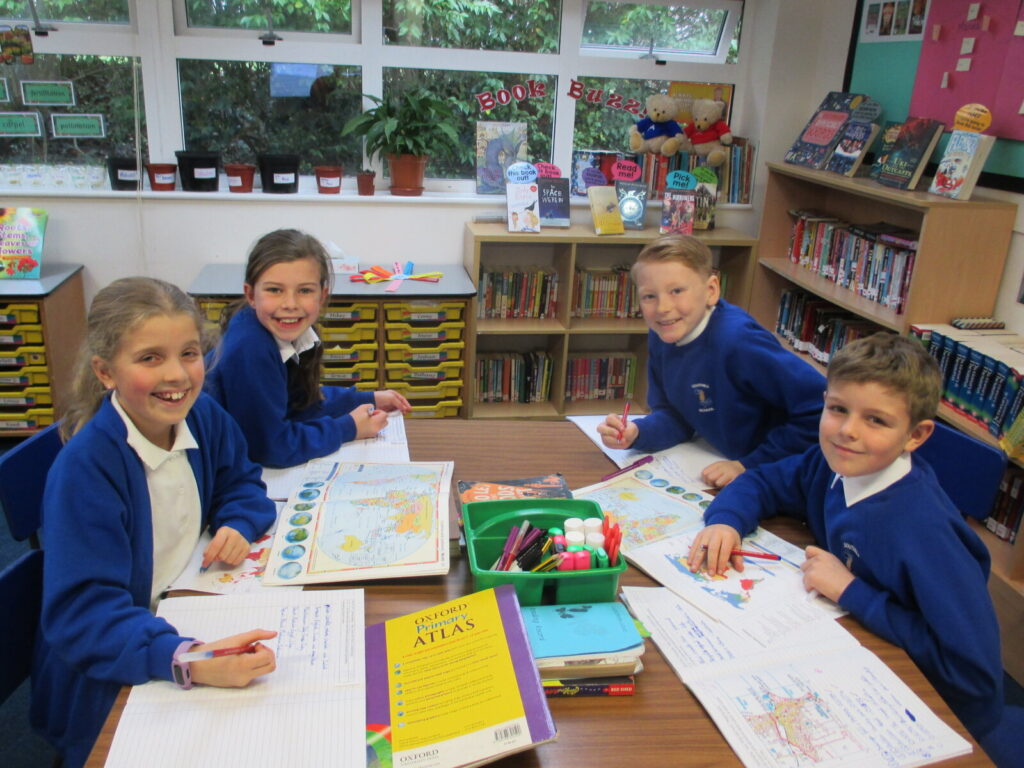
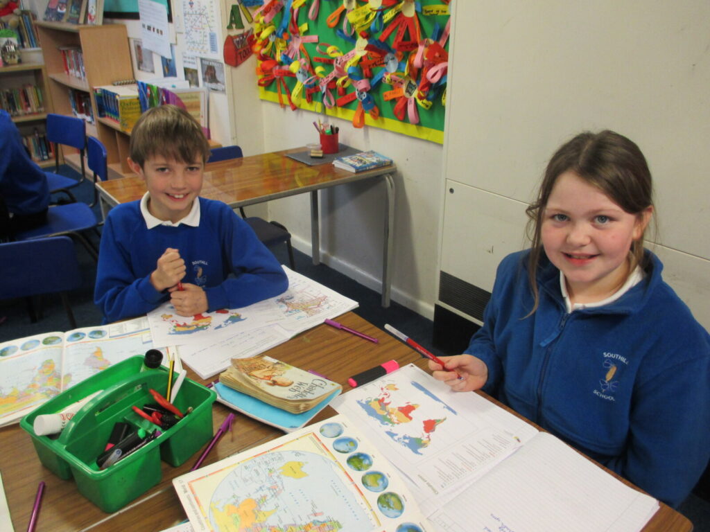
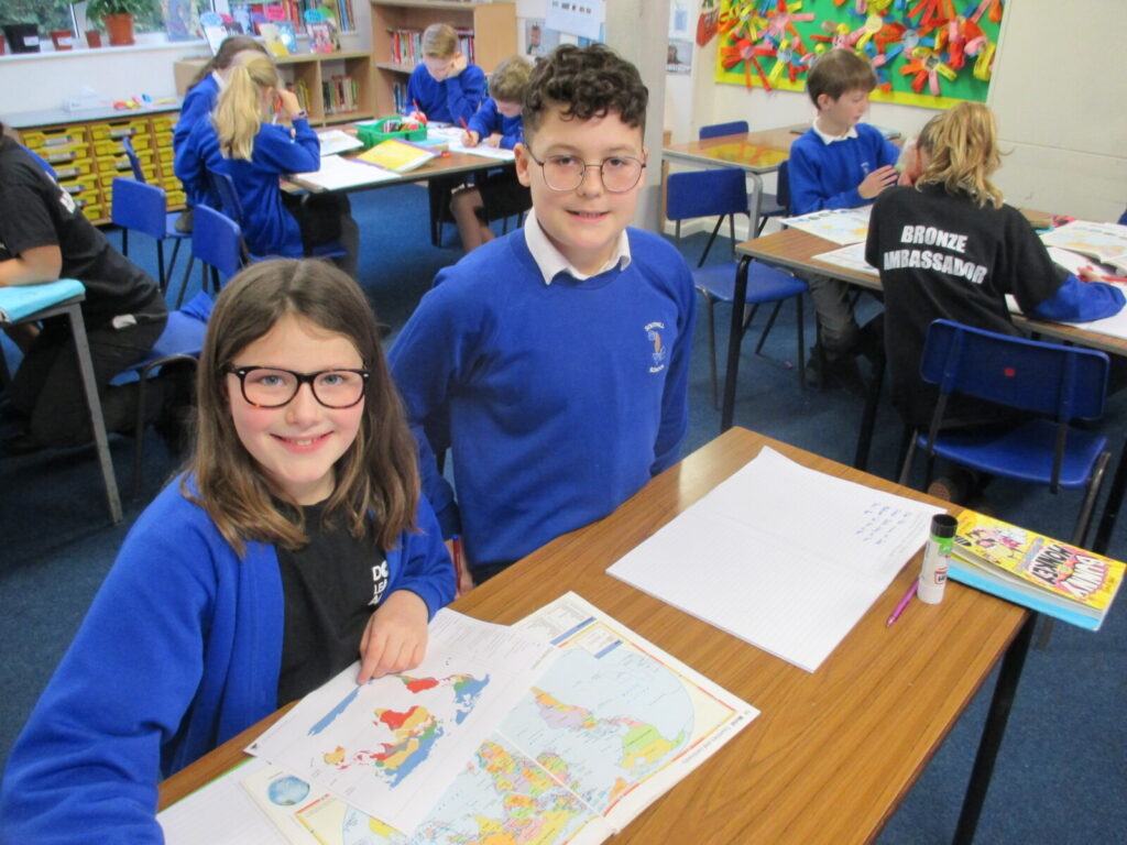
Moving on to using atlases, today we have revisited our knowledge of Climate Zones and identified countries in particular zones and thought about why only certain foods can be farmed and grown in certain countries. For example, it would be too cold to grow anything in the polar region and too hot to farm anything in a dessert region, yet just right to grow certain foods in a temperate or tropical region! What a great way to develop our knowledge of continents and countries around the world!