


Mastering Map Reading
(Topography and Contour Lines)
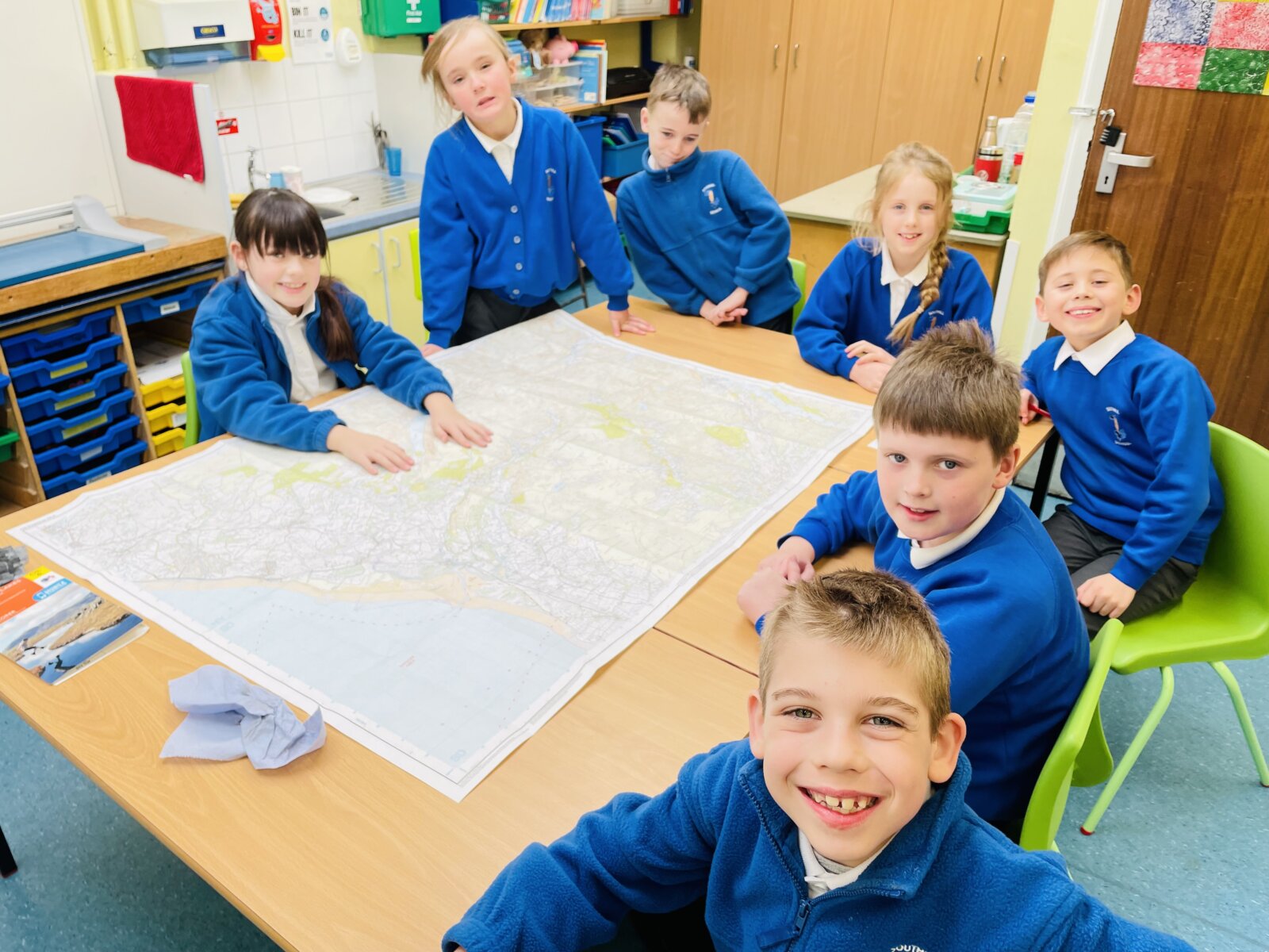
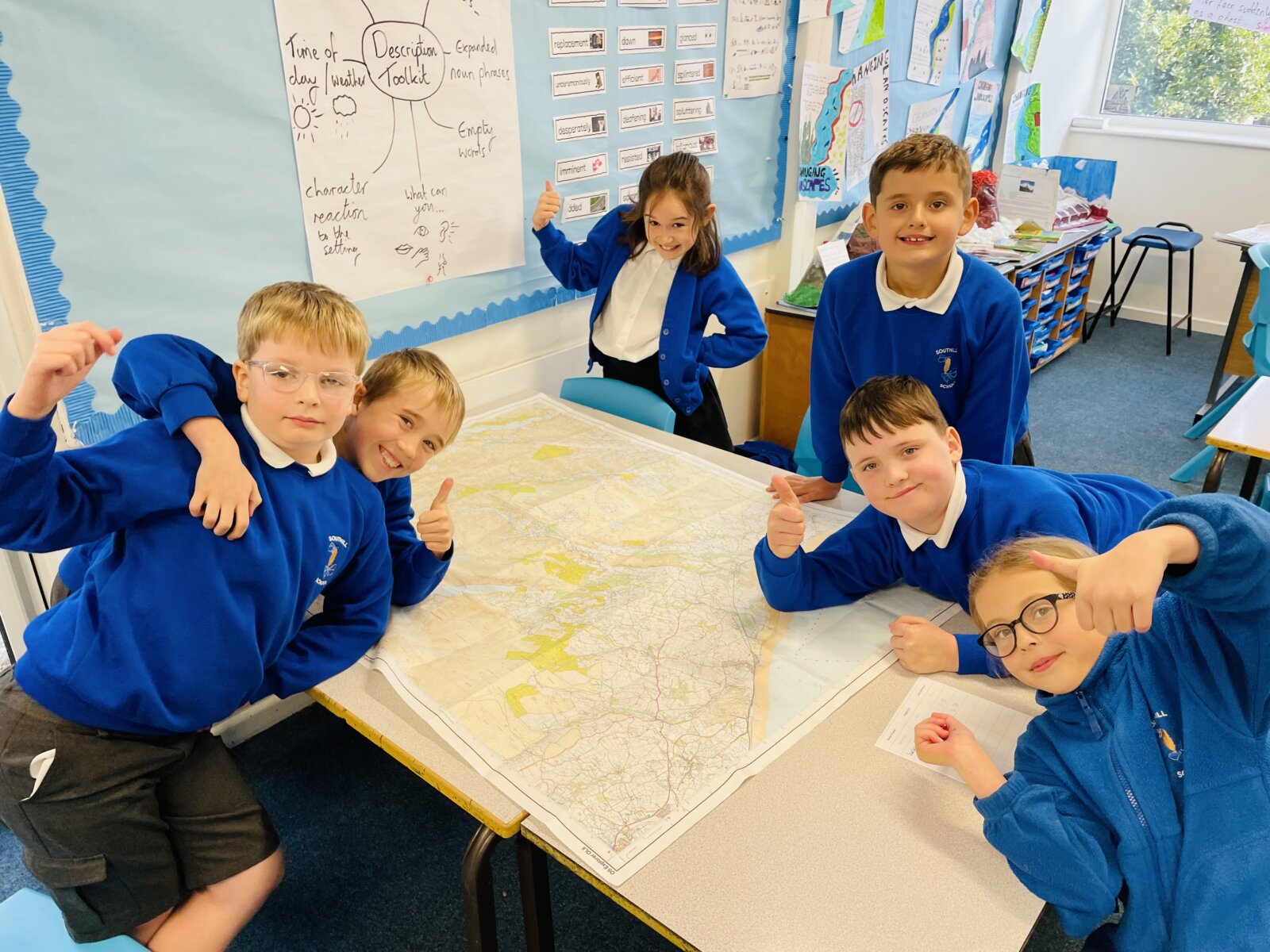
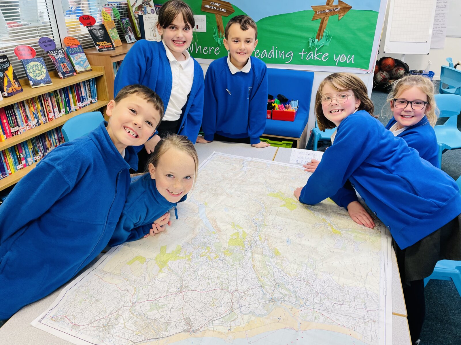
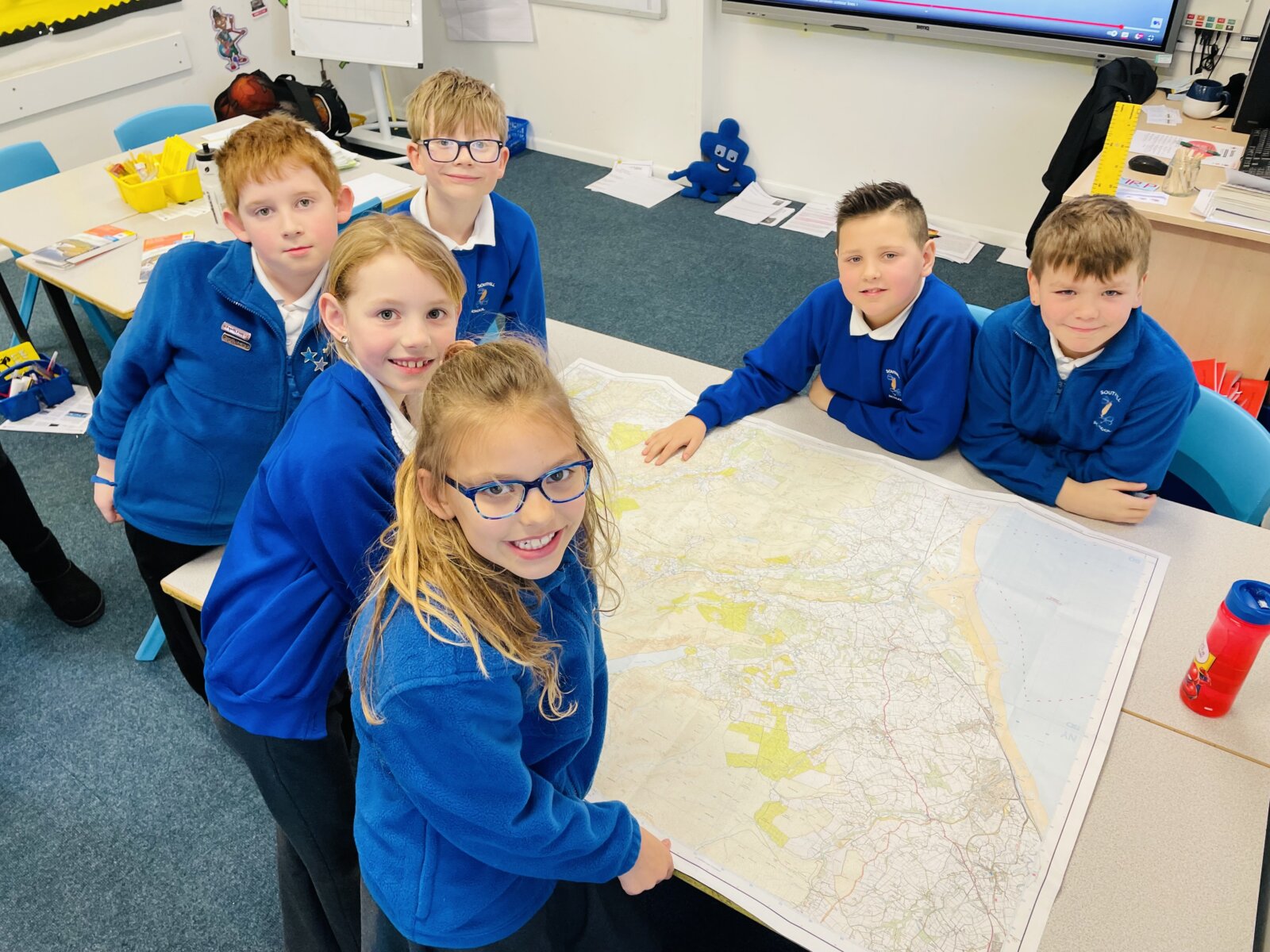
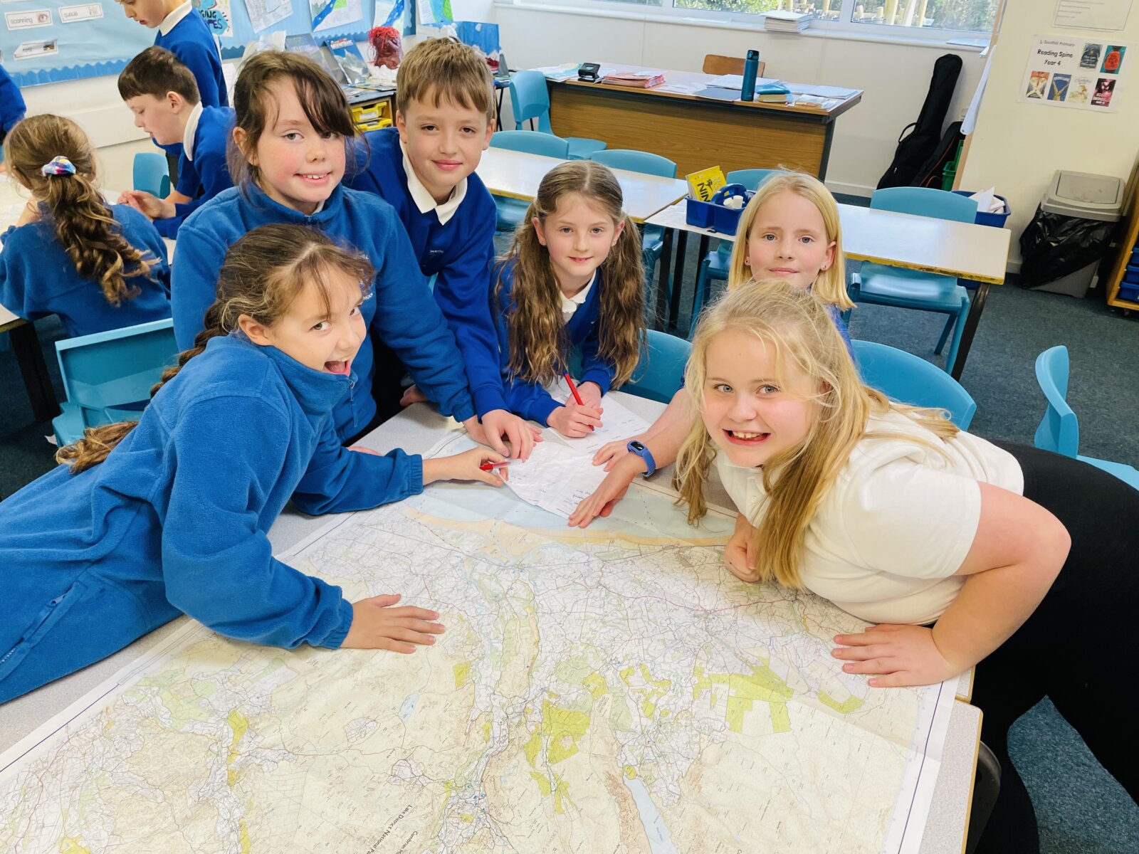
This afternoon, Year 4 began to explore maps and how to find and plot locations on a map accurately. Looking carefully at our large maps of the Lake District, we noticed that a grid had been put over the top of the map, splitting it up into small squares. We listened to Steve Backshall who taught us how to read a four-figure grid reference.
We also explored contour lines. Despite the fact that the map was flat, contour lines allowed us to see how high above sea level places were. In fact, the children found a number of mountains on their map as we know that a mountain has to be at least 610 metres tall.
The children then put their new map reading knowledge to the test and tried their best to find the peaks of different mountains, noting down the grid reference and how tall it was based on the numbers given on the contour lines. This isn’t easy and the children needed to work reciprocally in order to achieve this task.
A great lesson and it was fantastic seeing the children reading large maps both confidently and accurately.
Mr. Prior